

The Tarwin Catchment
The Tarwin River and its tributaries drain most of South Gippsland, covering over 270,000 hectares from the Strzelecki Ranges to Corner Inlet. It is one of Victoria’s most ecologically significant river systems — and one of its least celebrated.
Geography
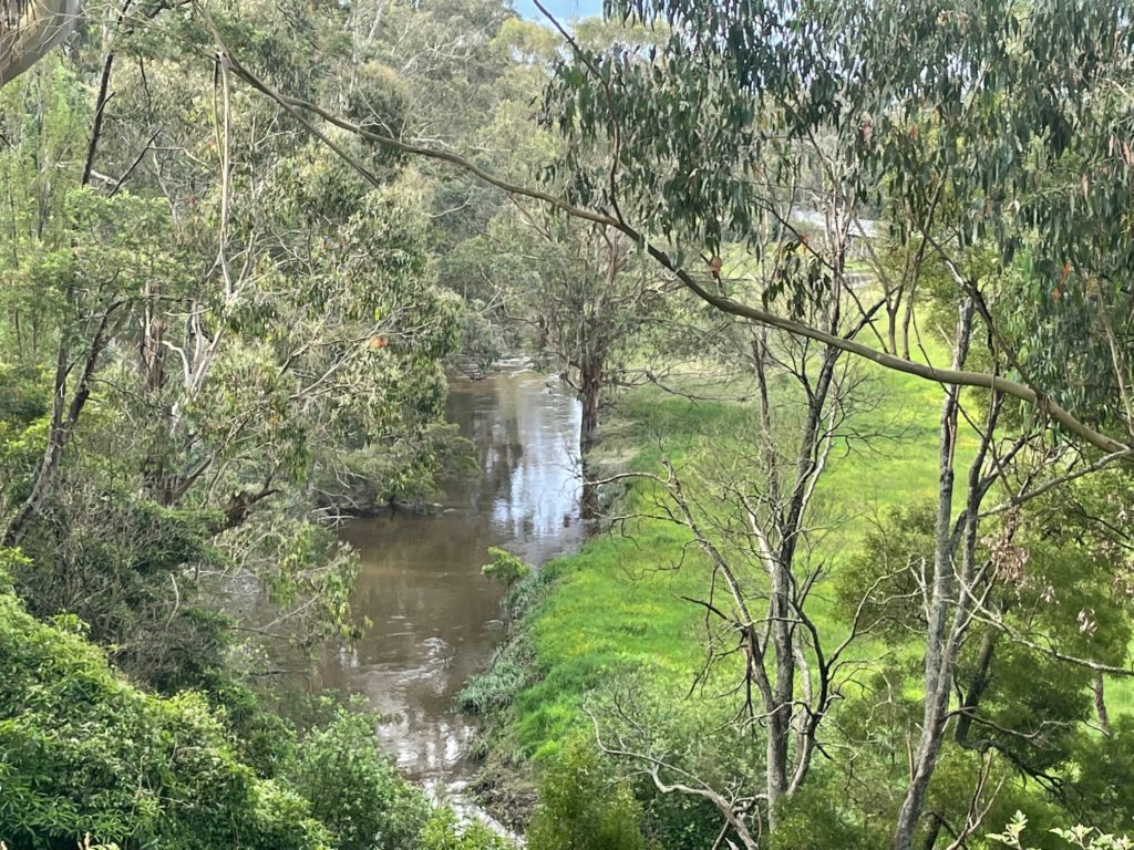
The Tarwin rises in the Strzelecki Ranges — one of Victoria’s most intact tracts of cool temperate rainforest — and flows south through open dairy country before spreading into the tidal flats of Corner Inlet. Its two main branches, the Tarwin East and Tarwin West, meet near Leongatha before continuing south to the sea.
Key sub-catchments include the Meeniyan–Stony Creek corridor, the Inverloch coastal zone, the Fish Creek tributary, and the Dumbalk Creek wetland system.
Wildlife & Ecosystems
This catchment is one of Victoria’s most diverse. It supports coastal wetlands, temperate rainforest, open farmland, and mountain streams — all connected by the flow of water to the sea.
- Platypus — present in many upper reaches; monitored by local volunteers
- Waterbirds — over 130 species recorded, especially around Corner Inlet
- Native fish — Galaxiids, eels, smelt and bream in coastal reaches
- Hooded Plover — critically vulnerable shorebird breeding on Tarwin beaches
- Macroinvertebrates — the living water quality indicators our citizen scientists study
History & Culture
The Tarwin catchment is the traditional country of the Gunaikurnai and Bunurong peoples, who have lived in and around these waterways for tens of thousands of years. European settlement from the 1840s brought dramatic changes — land clearing, draining of wetlands, and the conversion of forest to dairy pasture.
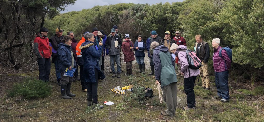
Today, Traditional Owners, farmers and conservation groups work side by side to restore riparian vegetation, monitor water quality, and protect the species that remain.
Threats & Restoration
The Tarwin faces significant pressures: nutrient runoff from agriculture, invasive weeds, feral animals, drought stress and the impacts of a changing climate. Sedimentation and reduced baseflows threaten native fish and invertebrate communities.
Through riparian revegetation, fencing of waterways, weed control and citizen science monitoring, our community is slowly restoring the health of the Tarwin. Every seedling planted, every water sample taken, every survey completed is a step toward a river its catchment can be proud of.